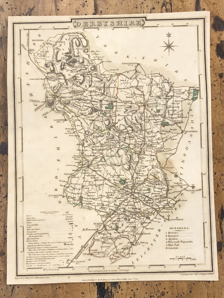
Early 19th Century Map Engraving of Derbyshire 1805
Early 19th Century Map Engraving of Derbyshire 1805
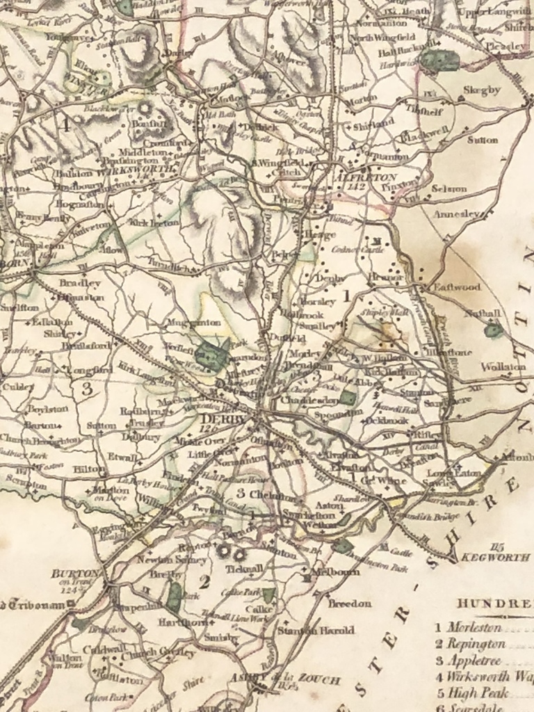
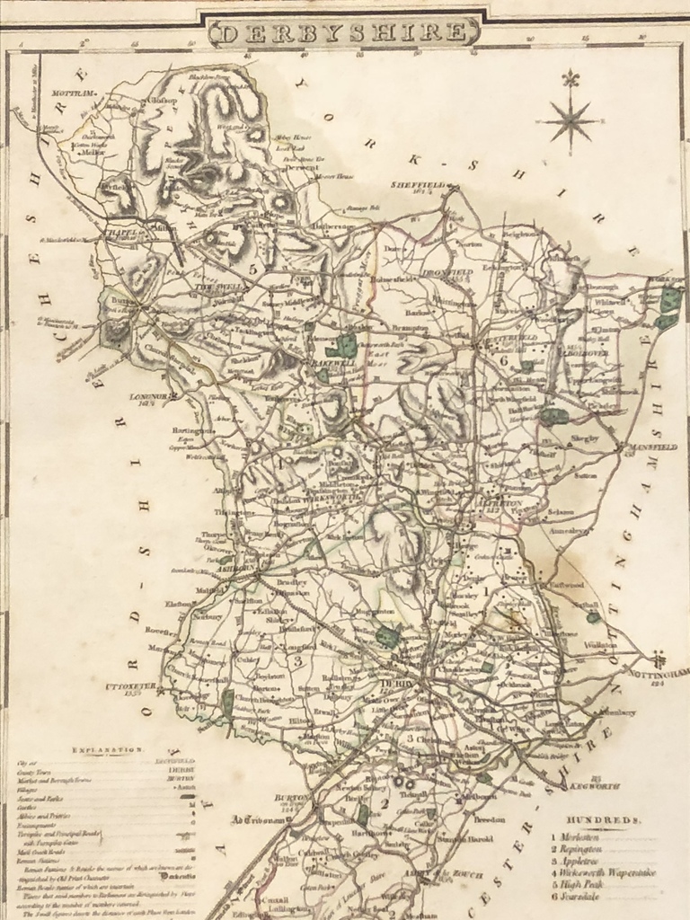
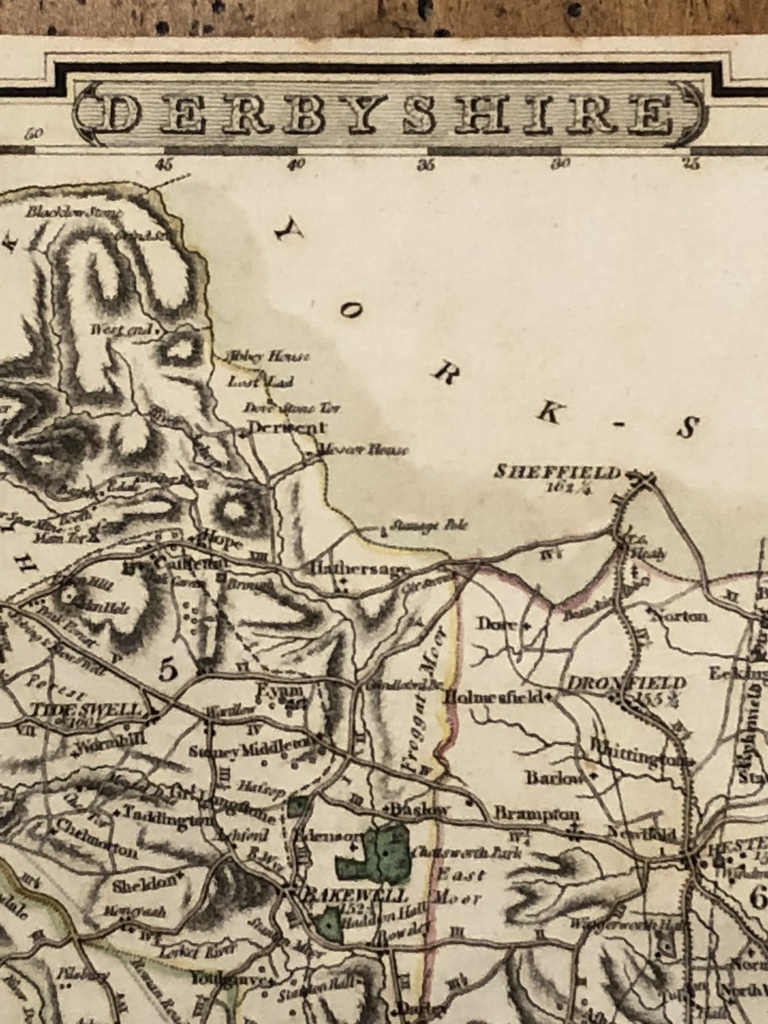
A highly detailed and attractive early 19th Century map of Derbyshire, with fine original hand colour, which was drawn and engraved by G. Cole and J.Roper, respectively, and published in the British Atlas (London: Vernor, Hood & Sharpe, 1807 / 1810).
City of Lichfield, Town of Derby,Borough of Burton and Villiage of Ashton.
Featuring Coal, Iron, Farms and Mines.
24cm x 18cm