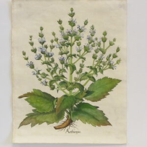
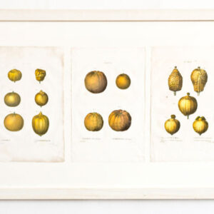
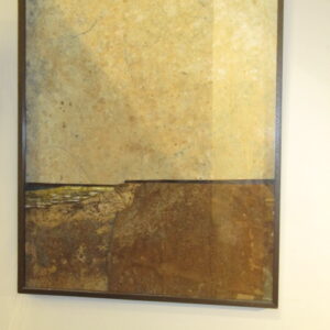
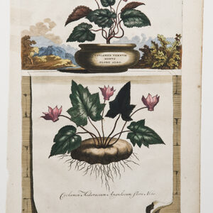
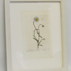
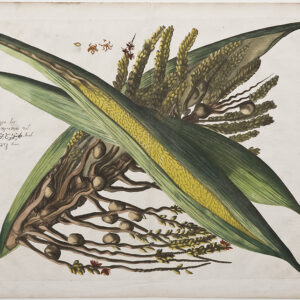
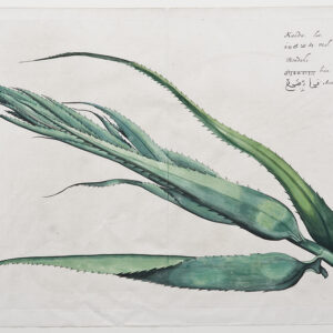
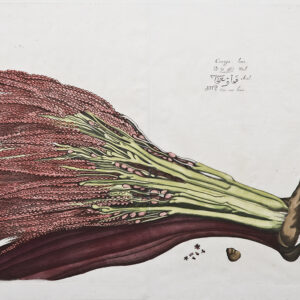
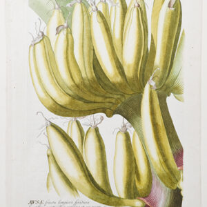
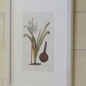
Redoute – A decorative framed arrangement of three early 19th Century Redoute hand coloured prints.
C.1820
Pierre-Joseph Redouté, (10 July 1759 – 19 June 1840), was a painter and botanist from Belgium, known for his watercolours of roses, lilies and other flowers at the Château de Malmaison, many of which were published as large, coloured stipple engravings.
He was nicknamed “the Raphael of flowers” and has been called the greatest botanical illustrator of all time.
In 1786, Redouté began to work at the National Museum of Natural History cataloguing the collections of flora and fauna and participating in botanical expeditions. In 1787, he left France to study plants at the Royal Botanic Gardens, Kew near London, returning the following year. In 1792 he was employed by the French Academy of Sciences. In 1798, Empress Joséphine de Beauharnais, the first wife of Napoleon Bonaparte, became his patron and, some years later, he became her official artist. In 1809, Redouté taught painting to Princess Adélaïde of Orléans.
In the 20th and 21st century, numerous exhibitions in Europe, the Americas and Australia have been devoted to the work of Redouté. The Biodiversity Heritage Library, the Library of Congress and other libraries have made many of his works accessible online and reproductions of his prints are available from virtually all print and poster shops.
Principle Works,
Geraniologia, ed Petri-Francisci Didot (1787–88)
Traité des arbres et arbustes que l’on cultive en France, par Duhamel. Nouvelle édition, avec des figures, d’après les dessins de P. J. Redouté, 7 vols. (1800–1819)
Les Liliacées, 8 vols (1802–1816)
Les Roses,3 vols (1817–1824)
(1817–1824 from Library of Congress) or Rare Book Room (1817 from The Warnock Library). Taschen has also published this as part of its 25th Anniversary series.
Redouté, Pierre-Joseph; with Candolle, Augustin Pyramus (1790). Plantes grasses. Levrault.
Choix des plus belles fleurs et de quelques branches des plus beaux fruits. Dédié à LL. AA. RR. les princesses Louise et Marie d’Orléans (1827) Online facsimile – Biodiversity Heritage Library
Catalogue de 486 liliacées et de 168 roses peintes par P.-J. Redouté (1829)
Alphabet Flore (1835)
Categories: Botanicals, Latest Additions, Works of Arts